01 / Surveying + geospatial CADD

Office survey and CADD work.

Most of my survey work happens at a desk: as-builts, stakeout preparation, ROW and easement exhibits, deed research, terrain surfaces, and contours. I use Civil 3D, Trimble Business Center, Bluebeam, and Excel to work through the details.

Office survey / CADD / geospatial

S-01 / As-builts

Utility and BMP as-builts

I draft storm, water, sewer, and BMP as-builts. On selected jobs, that has also meant scheduling field work, following up on missing information, checking rims, inverts, slopes, pipe data, and linework, working through redlines, and helping get the record package out.

S-02 / Stakeout

Stakeout preparation

I have prepared more than 50 stakeout proposals from civil and site plans. I use Bluebeam and Excel to build the scope and estimate, recreate proposed geometry in Civil 3D, and organize the information the field crew needs.

S-03 / Records

ROW & easement mapping

I plot legal descriptions, research deeds, recorded plats, and rights-of-way, and draft ROW and easement exhibits for surveyor review. When records disagree, I keep the source and assumptions visible instead of forcing them into one clean answer.

S-04 / Terrain

Terrain surfaces & contours

I review point files and as-staked reports in Trimble Business Center, then build and check TIN surfaces and contours in Civil 3D. I pay attention to breaklines, missing shots, and surface behavior because small problems there carry through the rest of the drawing.
Personal projects / Survey research + geospatial work

Personal survey and mapping projects.

These are the two survey and mapping projects I have been building outside work and school. One deals with statewide terrain; the other follows the boundary history of one Charlotte park.

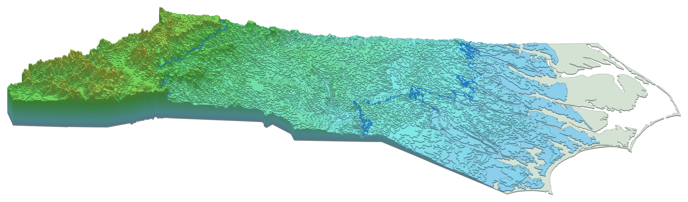
Angled QGIS visualization of layered North Carolina terrain, with dense mountain contours in the west and low coastal terrain in the east.
QGIS / 53 elevation thresholds + base

P-01 / North Carolina topography

North Carolina layered topographic map.

I combined a Census state boundary with USGS 3DEP elevation data, projected the work in North Carolina State Plane, and built cumulative polygons for every physical sheet. I kept geographic and fabrication geometry separate, checked validity and nesting, cleaned features that could not survive the material, split the layers for the laser bed, and added registration logic.

The elevation stack uses 25-foot intervals across the Coastal Plain, 50-foot intervals through the Piedmont, and 200-foot intervals in the mountains. It holds the state at 1:850,000 for a 50 × 15 inch installation.

  • 54physical sheets
  • 1:850khorizontal scale
  • 3Dinteractive model
Read more about it
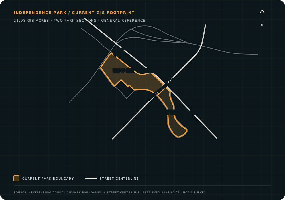
Current Mecklenburg County GIS footprint of Independence Park, showing the upper and lower park sections divided by Hawthorne Lane with nearby street context.
Current GIS footprint / historical layers studied separately

P-02 / Independence Park

Independence Park.

I am rebuilding the park’s record history from handwritten deeds, a 1905 division map, street and right-of-way changes, adjoining parcel records, monuments, and Sugar Creek calls. Instead of making every source agree with one modern line, I am keeping the original acquisition, later transfers and public projects, and present-day operational footprint as separate dated layers.

The case study shows how I transcribe and plot the record, track source confidence, compare stated and computed areas, and leave unresolved evidence visible when the record does not support a clean answer.

  • 1904–05early assemblage
  • 5source groups
  • Layeredboundary history
Read more about it