02 / Engineering

Civil 3D, as-builts, and plan production.

Most of my professional experience is on the survey and CADD side of civil projects. I use Civil 3D to turn field information into as-builts, stakeout geometry, surfaces, parcels, alignments, and clear plan sheets. My coursework has also given me a working introduction to BMP storage, basic stormwater, roadway corridors, and land development review.

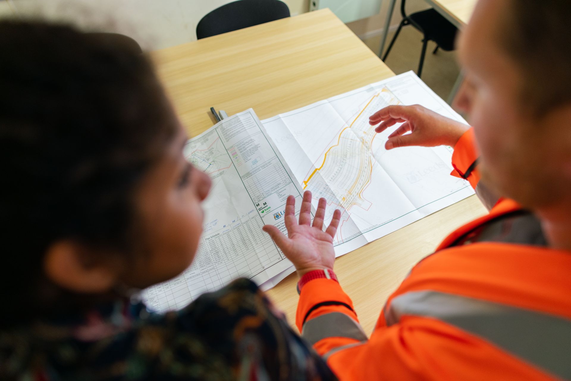
Civil engineering team reviewing construction plans on a table.
Plan / Coordinate / Build

E-01 / As-builts

Utility and BMP as-builts

I draft storm, water, sewer, and BMP as-builts from surveyed field data and engineer redlines. I compare rims, inverts, pipe sizes, slopes, structures, and connected linework, then flag missing or conflicting information before the sheet goes through QC or recordation.

E-02 / BMP storage

BMP stage-storage

For the BMW ALVA Pond As-Built, I contributed the Civil 3D surface and stage-storage work used in the record drawing. The storage shown on the sheet was 14.173 acre-feet. My role covered the CADD and as-built documentation; engineering design and approval remained with the licensed project team.

E-03 / Civil 3D

Civil 3D plan setup

I can create and label parcels, build horizontal alignments and simple roadway corridors, and organize the result on a readable plan sheet. I have used these tools in coursework and construction stakeout preparation, and I am continuing to build the design knowledge behind them.

E-04 / Development context

Land-development basics

My coursework has covered basic stormwater, detention storage, erosion control, and plan production. I am also learning how rezoning, the Charlotte UDO, and review comments shape a site before detailed design. I can follow that context and document it clearly, while deeper calculations and design decisions remain areas I am still learning under an engineer's direction.

Primary toolkit
  • Civil 3D
  • Bluebeam
  • Trimble Business Center
  • Excel

Academic design / Civil Engineering CAD

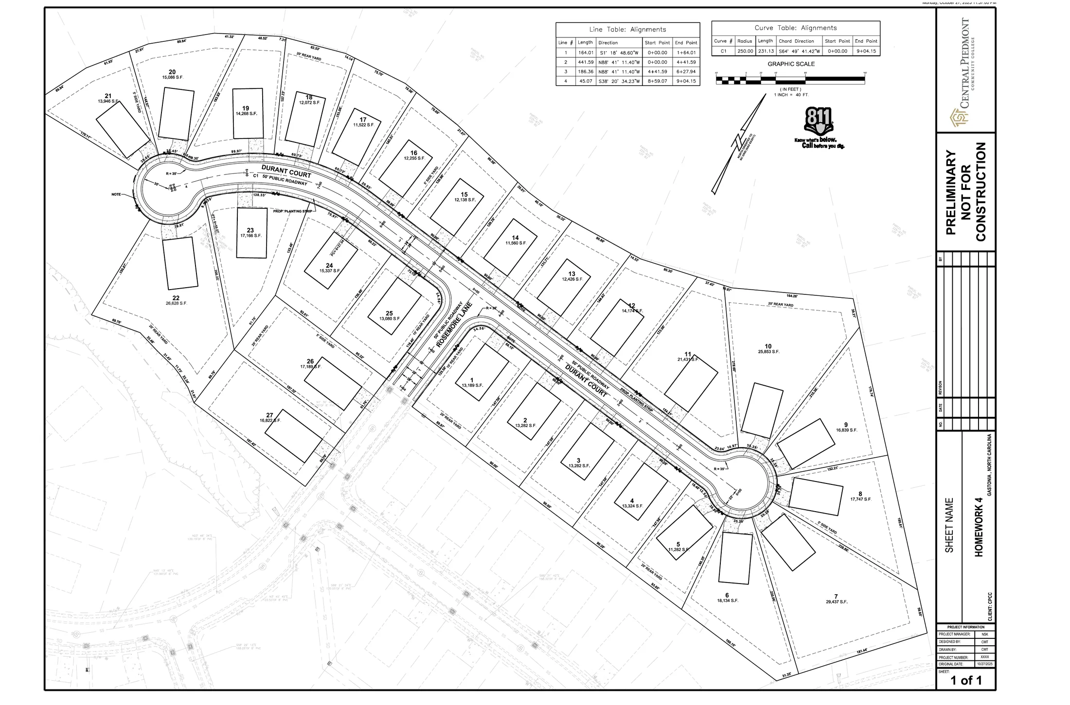
Civil 3D subdivision plan.

For my CEG 151 final, I laid out subdivision parcels around a 50-foot public right-of-way, built horizontal alignments and curves, added cul-de-sacs, setbacks, dimensions, and labels, and assembled the work on a 24 × 36 sheet.

The assignment gave me hands-on practice with parcel layout, plan sheeting, and the relationship between lots, alignments, and roadway corridors. It is preliminary coursework, and I am still learning the design standards and calculations that would take a plan like this into professional production.

Context
CEG 151 coursework
Software
Autodesk Civil 3D
Sheet
24 × 36 in / preliminary
Focus
Parcels + alignments + sheeting
Open the full plan sheet
Academic Civil 3D subdivision plan with two cul-de-sacs, numbered lots, alignment tables, setbacks, and a preliminary title block.
Preliminary / not for constructionAcademic work · Central Piedmont